

QUICK SUCCESS DATA SCIENCE


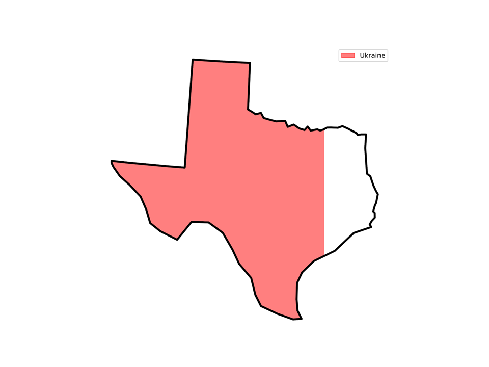
I previously wrote an article on how to compare the sizes of geographical regions, such as countries and states, by overlaying their maps. Here’s an example using the state of Texas and the country of Ukraine:

This approach is effective, except when regions have significantly different shapes. For instance, in the following figure, which is larger: Chile or Texas?

This issue led Medium member Anurag to leave the following (paraphrased) comment on the article:
“Is it possible to fill the area of other countries with the area of Texas? Unlike just overlapping the two countries on top of each other. I think it would be easier to observe and understand.”